Politics & Government
New App, Planned Projects Enhance Atlanta Bike Safety
Riders who use the app called Cycle Atlanta can provide feedback to help the city create more bike-friendly routes.

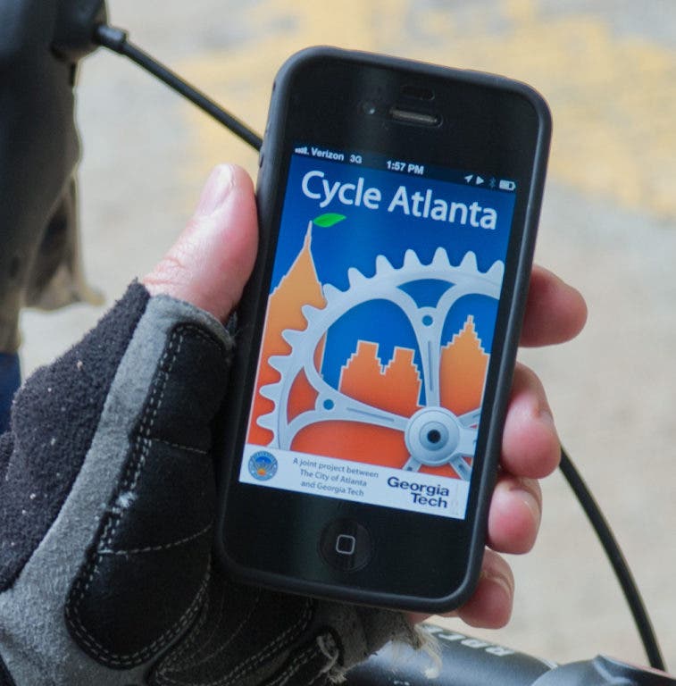


The City of Atlanta and Georgia Tech have teamed up to offer a new smartphone app to help cyclists in the city.
The iPhone and Android version of the app called Cycle Atlanta is available for download and designed to allow cyclists to provide direct feedback to city transportation planning staff.
“We want to know what bicyclists who use routes across the city consider to be barriers and obstacles to riding, said Commissioner James Shelby of the Department of Planning and Community Development.
The Cycle Atlanta app will allow bicyclists to participate in the Cycle Atlanta Study. Once the free app is launched, cyclists tap “Start” to begin recording their ride. When the ride is over, they hit "Save" and add details such as the purpose of their trip. Cyclists are able to see a map of their ride, distance travelled and average speed. The route is also uploaded to servers, where city transportation planners have access to it.
Find out what's happening in Virginia Highland-Druid Hillswith free, real-time updates from Patch.
Over the next three years, the City of Atlanta is poised to build 34 miles of bike routes. These projects include:
- New bicycle lanes along Auburn Avenue and Edgewood Avenue linking the Old Fourth Ward to Georgia State University.
- Georgia’s first protected one-way cycle track along Juniper Street connecting Piedmont Park to downtown Atlanta.
- Buffered bicycle lanes along Ponce de Leon Avenue providing a direct link from the Atlanta BeltLine Eastside Trail and Ponce City Market to the heart of Midtown.
- Two-way cycle track between Centennial Olympic Park and Freedom Park.
- Bicycle lanes and cycle track connection between Brownwood Park and Grant Park.
- Direct connection between the Atlanta University Center, Castleberry Hill and downtown Atlanta.
- Over nine miles of shared-use path connections in northeast, northwest, southeast and southwest Atlanta connecting various business districts, parks and schools.
City planners are also working toward doubling the rate of bicycle commuting by city residents from 1.1 percent to 2.2 percent by the year 2016. City partners such as Atlanta BeltLine Inc., Atlanta Regional Commission, Georgia Department of Transportation, Community Improvement Districts, the PATH Foundation and private funding partners continue to support bicycle plans city-wide.
Find out what's happening in Virginia Highland-Druid Hillswith free, real-time updates from Patch.
Last week, Mayor Kasim Reed affirmed his support of bike transportation during a news conference to mark the completion of a bike improvement project, including a raised track for bikes and high visibility paint, around Midtown’s Tech Square.
That project was jointly funded by the Midtown Alliance, Bikes Belong Foundation and Georgia Tech, in cooperation with the City of Atlanta and the Atlanta Bicycle Coalition.
“Thanks to a dynamic partnership, two segments of on-street bicycle lanes along 5th Street at West Peachtree Street are now connected, allowing cyclists to safely ride to work, home and campus,” Reed said at the news conference. “Connecting communities to regional job and activity centers, Atlanta Streetcar and MARTA rail stations, city parks and the Atlanta BeltLine corridor is a priority for my administration.”
- The City of Atlanta and Georgia Tech contributed to this story
Get more local news delivered straight to your inbox. Sign up for free Patch newsletters and alerts.